


Ron Bomba’s ski map art is now FREE to all who would like copies of them for personal use.This website includes download links to high resolution files that will print very high quality art prints, on paper, canvas, metal and other material.Before downloading, consider that these files can be very large, and are best suited for a computer, not all mobile devices. Downloads are PDFs. The 8x10 inch images are about 12 MB, the 16x20 inch about 50 MB and the large Panoramas are over 70 MB.For personal use only - It is illegal to reproduce any of the images on this site for commercial use without explicit written permission from Ron Bomba Studio. Contact Ron for special requests and use licensing.
Ron Bomba's Ski Map Illustrations
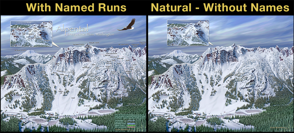
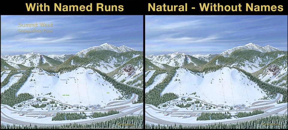
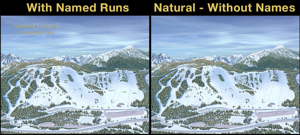
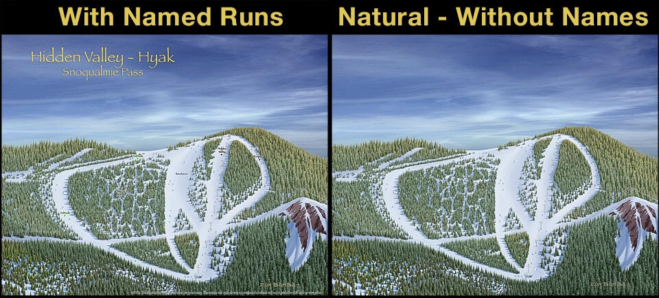
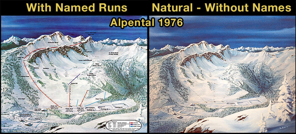
Ron painted his first ski map in 1974 for Ski Acres (now Summit Central), then Alpental in 1976. Summit West and Hyak were added later after their consolidation.Ski resort maps often add graphics that can obscure the illustration detail. The versions offered here are uncluttered, and also include additional features and details not included in the resort maps. Most are available with or without named runs and graphics, identified with “Names” or “Natural” in the file name.Most of Ron's Snoqualmie Summit and Alpental illustrations are available here. The earlier paintings and sketches dating back to 1980s and 90s give a sense of local skiing history.


Alpental - Year 2025

Alpental / Edelweiss Bowl - Year 2025

Summit West - Year 2025
Summit Central - Year 2025
Summit East (Hyak) - Year 2025
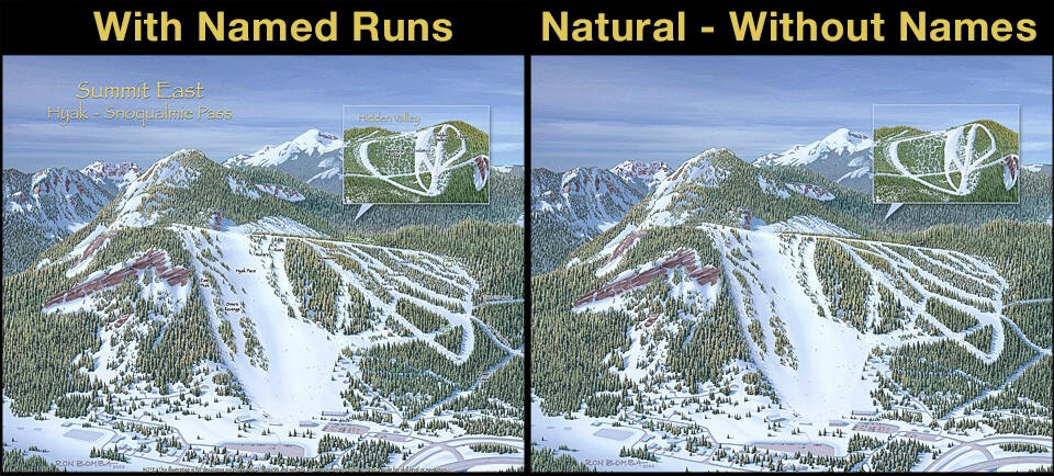

Hidden Valley - Hyak's Backside
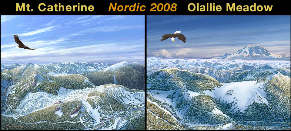
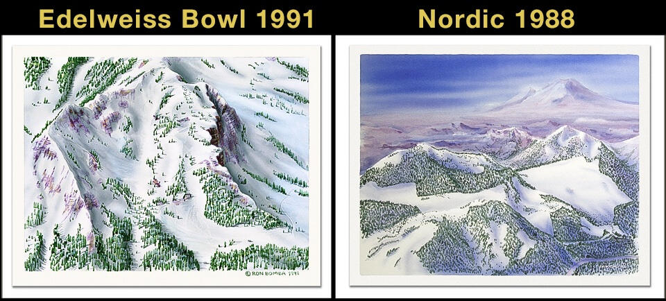
Snoqualmie Pass - Years 1976 - 2008


Other Ski Art

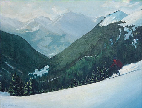
Arlberg Style - 1967
Oil on Canvas Painting
DOWNLOAD
Arlberg Style 1967 / 12x16
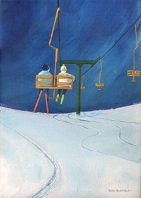
First Tracks - 1972
Oil on Canvas Painting
DOWNLOAD
First Tracks 10x14
Ron's Method
A ski map illustration starts with chartering a plane or helicopter to photograph the mountain from several angels. The best viewpoint will be selected and used as an accurate reference for what follows.The map painting is illustrated in Photoshop. The base layer photograph will only be used for reference and accuracy.The mountains, snow, trees and skiers are individually painted on separate layers with digital brushes as if on canvas. A completed ski map can have more than a hundred layers.